Safe Foundation has signed two memorandums of understanding with two Departments of Politecnico di Torino: a memorandum with the Geomatics Lab for cultural heritage (LabG4CH) of the Architecture and Design Department (DAD) and a memorandum with the Department of Environmental, Territory and Infrastructure Engineering (DIATI) of Politecnico di Torino.
The memorandum with the Department of Environmental, Territory and Infrastructure Engineering (DIATI) aims at mutual collaboration on the subject of Geomatics for the survey and analysis of the territory, methods and technologies for indoor and outdoor positioning (eg GNSS, RF, visual odometry), use of remote piloted systems (terrestrial, airborne and underwater) for the acquisition of geospatial data, management of geospatial data using GIS, reconstruction of 3D models of the territory and enabling technologies for the characterization of the territory.
The final objective is to test and validate innovative techniques for positioning and creating maps and 3D models.
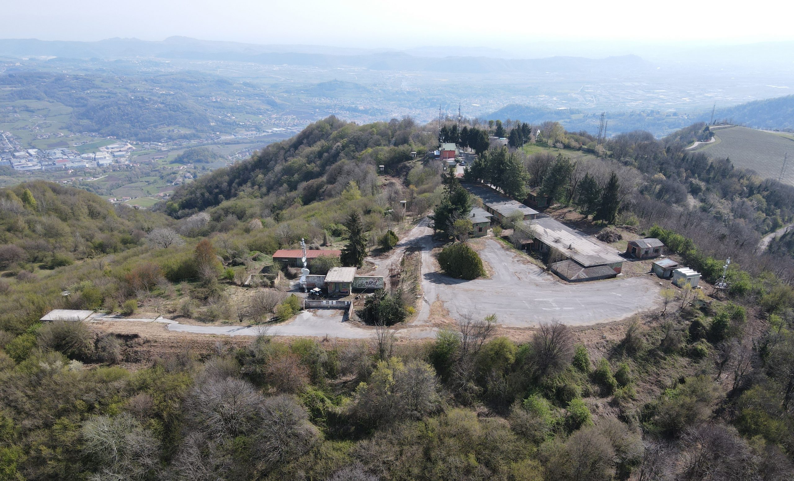
The memorandum with Geomatics Lab for cultural heritage (LabG4CH) of the Architecture and Design Department (DAD) aims at creating reciprocal cooperation on the topic of management, protection, conservation and divulgation of cultural heritage, and more broadly, to support the different management phases of different types of emergencies. The metric 3D measurement of the ex-military base at Monte Calvarina (which has become a SAFE Foundation’s Training and Testing facility since early 2021), based on drone photogrammetry, is the first result of this cooperation.
Watch the following video to see the result of the 3D measurement: